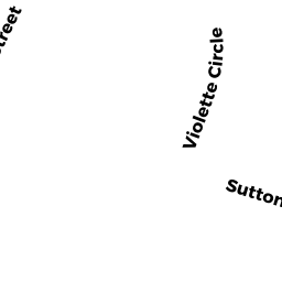
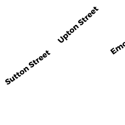
SUTTON ST
Owner Information
MANSFIELD EDWARD P
44 VIOLETTE CR
NORTHBRIDGE, MA 01534


Property Details
SUTTON ST is classified as a Undevelopable Residential Land (Vacant land).
SUTTON ST is valued at $3,500. The land is valued at $3,500 and the structures are valued at $0.
This property is in Zone R3. Confirm with local Zoning Board authorities to ensure there are no overlays or other easements on this property.
The most recent deed for SUTTON ST is recorded at the local registrar in Book 47709, Page 0355. SUTTON ST was last sold on Friday, August 12, 2011 for $4,000.
Assessment data from fiscal year 2021.
Flood Data
This property is partially within the AE Zone (within floodplain). Approximately 0.11 acres (16.07%) of the property is within this zone.
This information is sourced from the FEMA National Flood Hazard Layer. See our full disclamer.
Broadband Internet Providers
| Provider | Type | Bandwidth (mbps) | |
|---|---|---|---|
| Viasat Inc | Satellite | 100 | 3 |
| Verizon New England Inc. | DSL | 5 | 0 |
| Charter Communications Inc | Cable | 940 | 35 |
| GCI Communication Corp. | Satellite | 0 | 0 |
| HughesNet | Satellite | 25 | 3 |
| VSAT Systems, LLC. | Satellite | 2 | 1 |
Broadband service provider data from December 2020.
Adjacent Properties
- 32 VIOLETTE CR
Single Family Residential owned by BEAUDOIN MICHAEL W - 22 VIOLETTE CR
Single Family Residential owned by LAPIERRE BERNARD JR - 166-168 SUTTON ST
Two-Family Residential owned by MAGNANT DAVID J - 172 SUTTON ST
Single Family Residential owned by DAVIN WATSON FAMILY TRUST - OFF SUTTON ST
Undevelopable Residential Land owned by 76 SUTTON STREET TRUST